Make a Call
0555162992
%20(2)-03.png)

From 2009, ACECO has offered leading-edge Services in Geomatics including surveying engineering, providing suitable solutions for surveying projects.
We are known for outstanding levels of responsiveness and client care, supported by technical expertise, resulting in superior outcomes as per specific project needs. Understanding the demand and scope of the projects, we are the best geomatics surveyors in Saudi Arabia.
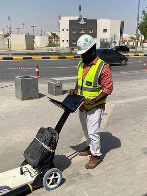
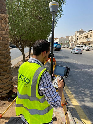
Our broad range of geomatic surveying includes 3D scanning surveying, mobile mapping system, 3D laser scanning surveying, GIS information systems, producing and analyzing GIS data sets, geographic information systems, underground survey, underground scanning services, land subdivisions and land division, aerial land survey, aerial survey by drone,Hydrology studies, along with various types of marine survey.


Geomatics Gallery
Our broad range of geomatic surveying includes 3D scanning surveying, mobile mapping system, 3D laser scanning surveying, GIS information systems, producing and analyzing GIS data sets, geographic information systems, underground survey, underground scanning services, land subdivisions and land division, aerial land survey, aerial survey by drone,Hydrology studies, along with various types of marine survey.